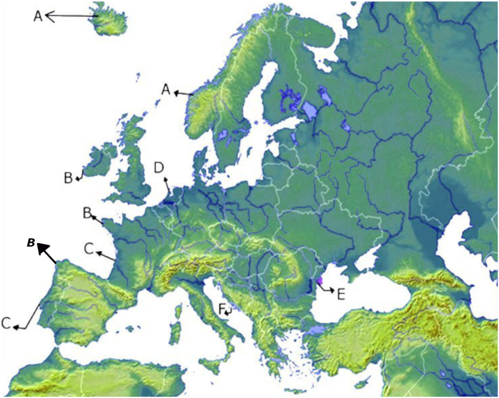
Click on the buttons and see what the shores of Europe look like. The moment you clicked on a button below the map some markers will appear on the map in the areas where there are the respective types of coast in Europe. By clicking on those markers you will see the name and a satellite image. At the top of the map appears the definition of the type of shore. If you move the mouse over the satellite image, it enlarges. When you take the mouse off the image, it will decrease in size. The markers on the map will have the same colors as the button. After you press the marker on the map, it changes its color to black to help you know that you have already clicked on the respective marker. To close the image press the red X
 X
X
 X
X
 X
X
 X
X
 X
X
 X
X
 X
X
 X
X
 X
X
 X
X
 X
X
 X
X
 X
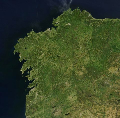
The riass coast of NW Spain
The riass coast of NW France
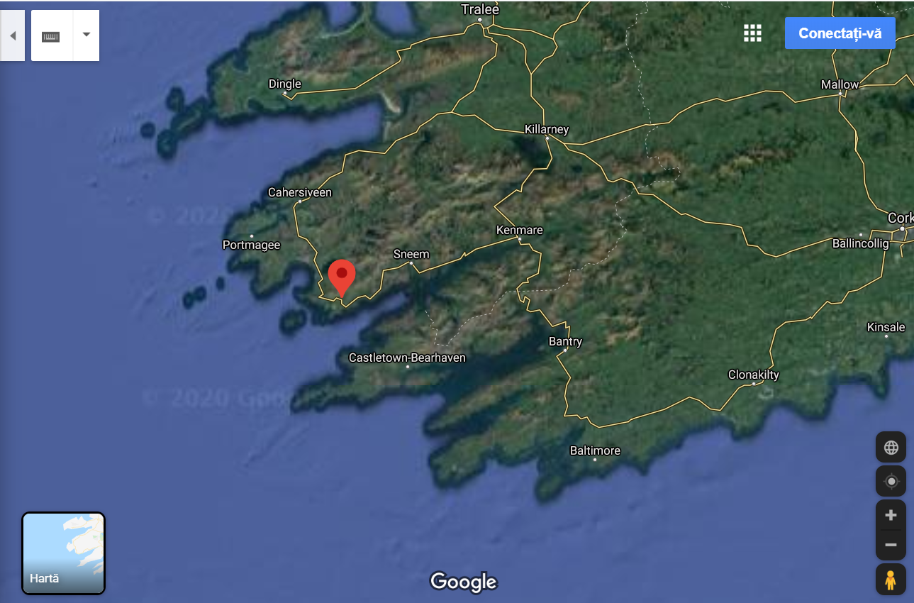
The riass coast of SE Ireland
Fjord Iceland
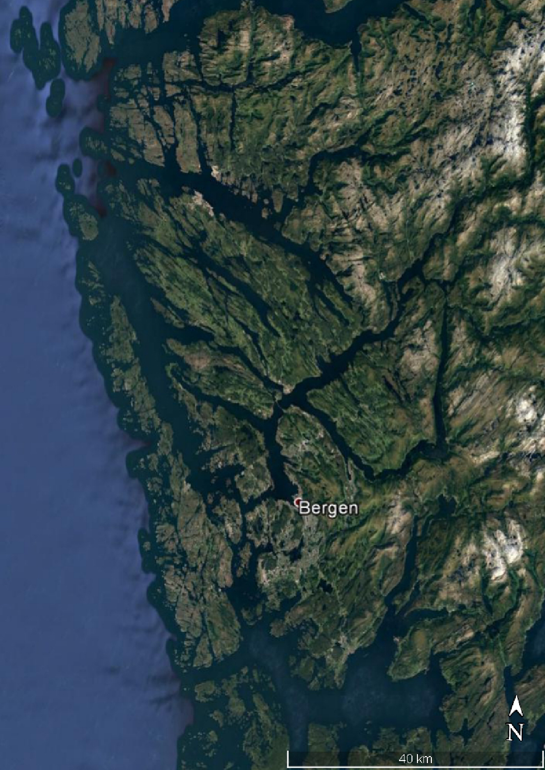
Fjord Norway
Fjord Scotland
otia
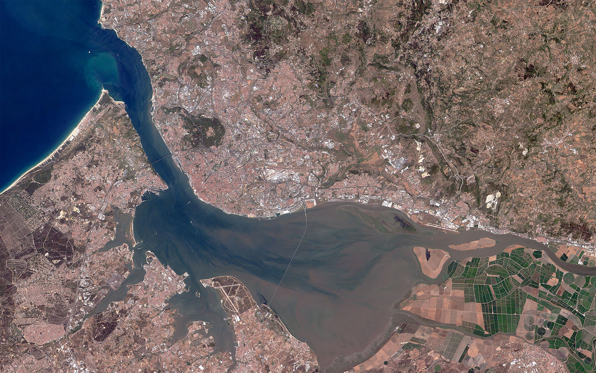
The Tagus River Estuary
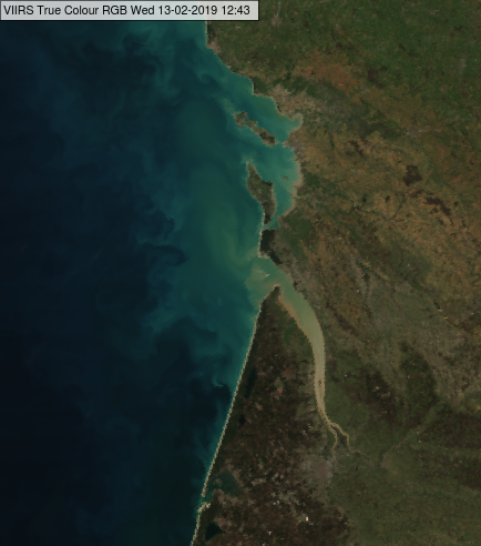
Estuary of the river Garrone
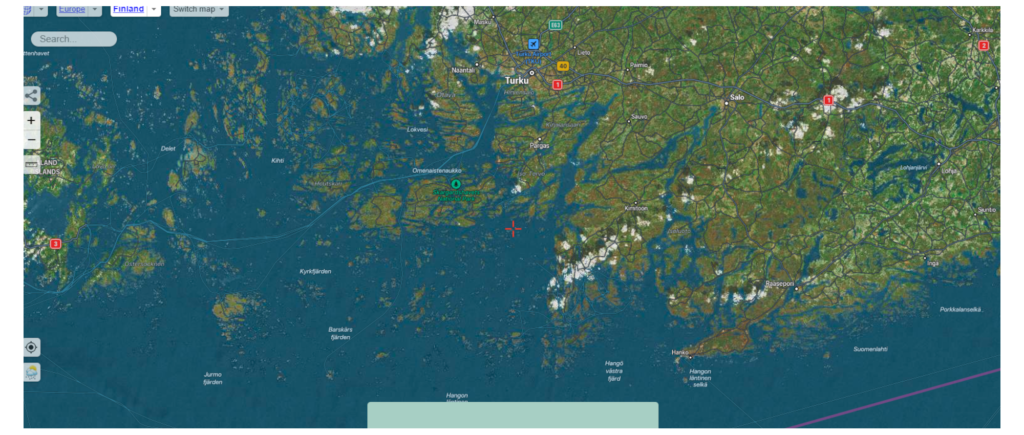
SKJAR
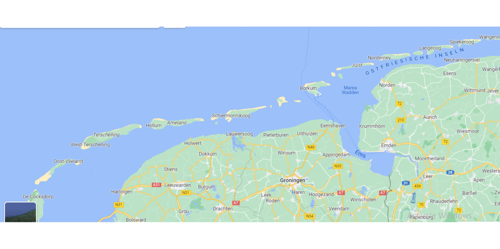
WATT
LAGOON
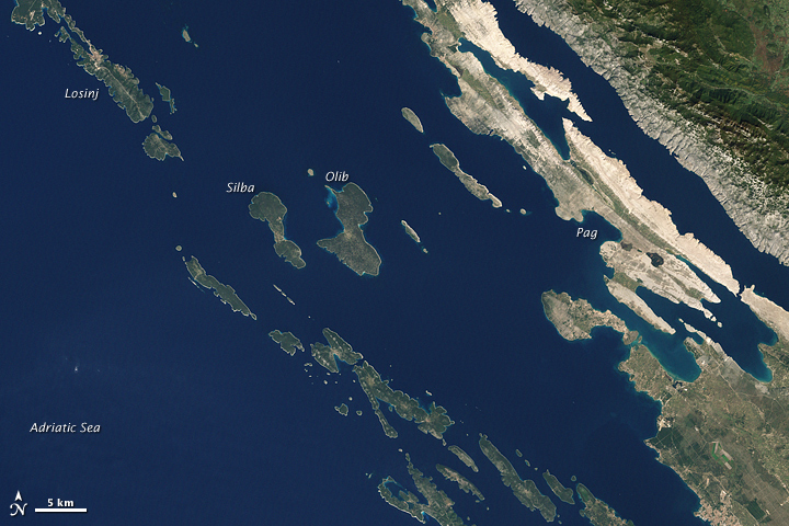
Dalmatian coast
Delta shore
To view an image and a short description, you must press the buttons positioned below the map. When you press the button, a box with the name, image and a short description will appear. Above the map you will find the description of the type of shore you clicked on
X
The riass coast of NW Spain
The riass coast of NW France
The riass coast of SE Ireland
Fjord Iceland
Fjord Norway
Fjord Scotland
otia
The Tagus River Estuary
Estuary of the river Garrone
SKJAR
WATT
LAGOON
Dalmatian coast
Delta shore
To view an image and a short description, you must press the buttons positioned below the map. When you press the button, a box with the name, image and a short description will appear. Above the map you will find the description of the type of shore you clicked on
